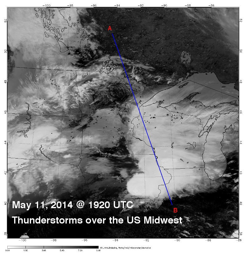
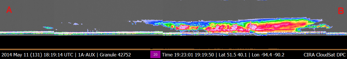
CloudSat overpassed a section of the storm system that brought heavy rainfall, strong winds and hail to areas of the central United States on May 11, 2014. The CloudSat cloud profiling radar (CPR) overpassed the thunderstorms at 1920 UTC clipping the western edges of heavier convection over Iowa and Michigan (Figure 3). The CloudSat overpass (Figure 3) details the areas of thunderstorms and moderate rainfall. Mid and high level clouds are detected farther to the north (closer to the A lettering).
The Moderate Resolution Imaging Spectroradiometer (MODIS) on NASA's Aqua satellite captured the infrared (IR) (Figure 1) image taken a few minutes before the CloudSat overpass (Figure 2) denoted by the blue line A->B). Local NEXRAD radar imagery of the same time period with the CloudSat track in blue is shown in Figure 3 (image courtesy of NCAR RAL).
An animation containing GOES satellite imagery with CloudSat imagery overlaid is shown in Figure 4 (courtesy Shigeru Suzuki of JPL).
Figure 1. MODIS IR imagery (courtesy NOAA LAADS Web) with CloudSat track (blue).
Figure 2. CloudSat overpass track (courtesy CloudSat Data Processing Center).