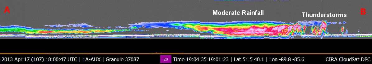
CloudSat overpassed a section of the storm system that brought torrential rainfall to Chicago, Illinois on April 18, 2013. The CloudSat cloud profiling radar (CPR) sampled the storm at 1900 UTC just to east of the Chicago area. The CloudSat overpass (Figure 3) details the areas of thunderstorms and moderate rainfall. Mid and high level clouds are detected farther to the north (closer to the A lettering). Up to 6" of rainfall fell in areas of northern Illinois from this system (http://www.cocorahs.org).
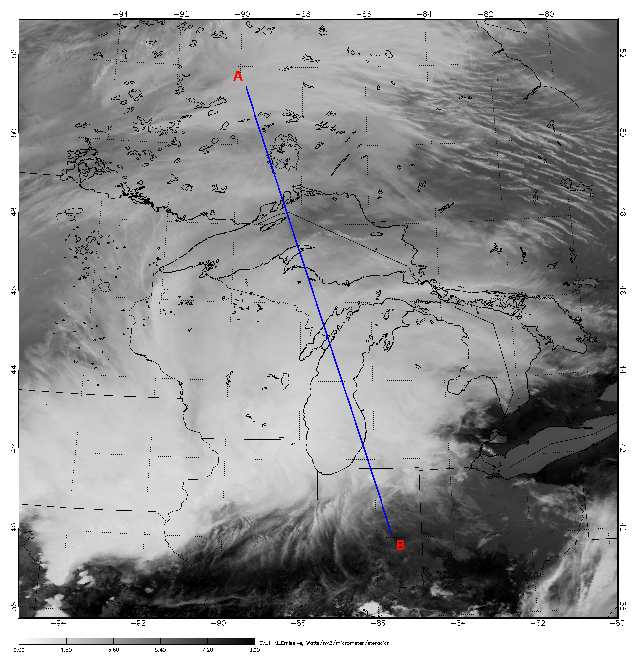
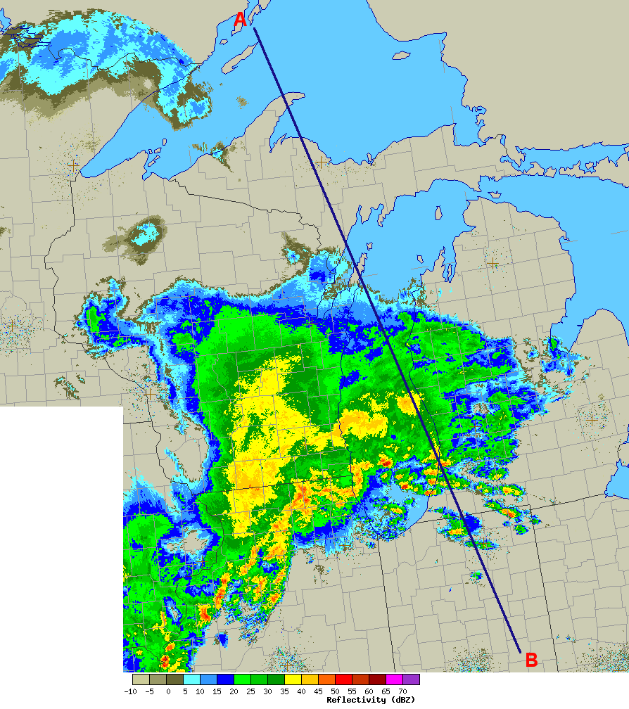
The Moderate Resolution Imaging Spectroradiometer (MODIS) on NASA's Aqua satellite captured the infrared (IR) (Figure 1) image taken a few minutes before the CloudSat overpass (Figure 2) denoted by the blue line A->B). Local NEXRAD radar imagery of the same time period with the CloudSat track in blue is shown in Figure 3 (image courtesy of NCAR RAL).
An animation containing GOES satellite imagery with CloudSat imagery overlaid is shown in Figure 4 (courtesy Shigeru Suzuki of JPL).
Figure 1. MODIS IR imagery (courtesy NOAA LAADS Web) with CloudSat track (blue).
Figure 2. CloudSat overpass track (courtesy CloudSat Data Processing Center).
Figure 3. Chicago area radar (courtesy RAP).
Figure 4. Chicago area heavy rains - April 17, 2013.
References:
MODIS imagery, LAADS Web, Retrieved April 19, 2013.
CloudSat imagery, CloudSat DPC, Retrieved April 19, 2013.
Radar imagery, RAP Radar Page, Retrieved April 19, 2013.
Last updated: April 22, 2013 by Natalie D. Tourville