|
News: April Midwest Storm System
|
 |
|
Midwest storm system - April 2016
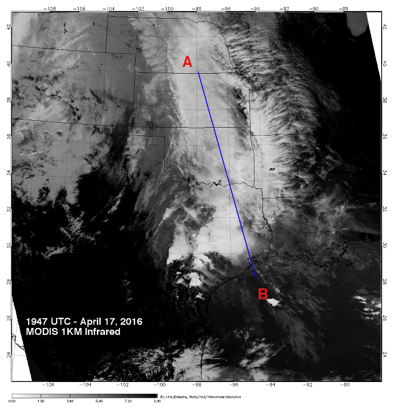
CloudSat overpassed a slow moving storm system in the midwest on April 17, 2016 @ 1947 UTC. The CloudSat cloud profiling radar (CPR) observed an area of moderate rainfall extending from the Gulf coast up through Texas, Oklahoma and Kansas (Figure 2).
This particular storm system brought heavy amounts of snow to the Colorado Rockies and severe weather over the US Plains. With little movement of the storm system, moist air from the Gulf of Mexico quickly fueled numerous rain, thunderstorms and snow over a large area of the midwest.
The CloudSat overpass highlights the smaller individual cells in the southern portion and the continuous area of rainfall northward. Cloud top heights are generally around 13-14 km in height. The southern section of the overpass intersects the eastern portion of developing convection located to the west of the blue line (Figure 1). This storm system was responsible for the development of a mesoscale system (MCS) that dumped large amounts of rain the following day over Houston, TX.
The Moderate Resolution Imaging Spectroradiometer (MODIS) on NASA's Aqua satellite captured the infrared (IR) (Figure 1) image taken a few minutes before the CloudSat overpass (Figure 2) denoted by the blue line A->B).
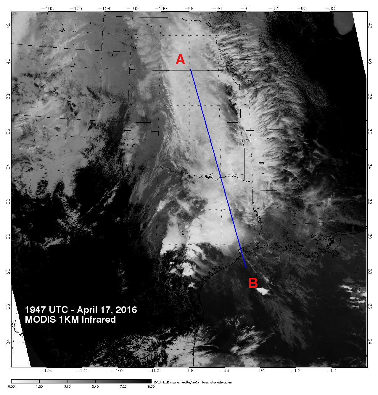 Figure 1. MODIS IR imagery (courtesy NOAA LAADS Web) with CloudSat track (blue). Figure 1. MODIS IR imagery (courtesy NOAA LAADS Web) with CloudSat track (blue).
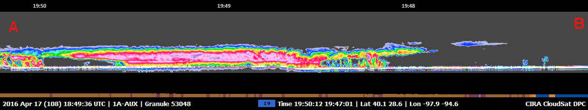 Figure 2. CloudSat overpass track (courtesy CloudSat Data Processing Center). Figure 2. CloudSat overpass track (courtesy CloudSat Data Processing Center).
References:
MODIS imagery, LAADS Web, Retrieved April 23, 2016.
CloudSat imagery, CloudSat DPC, Retrieved April 23, 2016.
Weatherunderground, Central U.S. Dousing on Tap; Heavy Spring Snow in CO, WY, Retrieved April 24, 2016.
Last updated: April 24, 2016 by Natalie D. Tourville
|