|
News: 2010 Mid Atlantic Snowstorm
|
 |
|
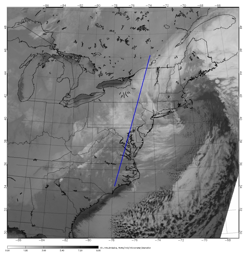
A powerful post Christmas snow storm blanketed areas along the east coast with up to 32" (80 cm) of snow during December 26 and 27, 2010.
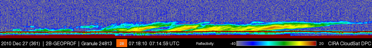
CloudSat overpassed just west of the center of the system on December 27, 2010 at 0715 UTC. CloudSat captures the system as it's exiting the region (note the comma shaped storm system). The clouds viewed by CloudSat are mostly comprised of nimbostratus, stratocumulus and altostratus cloud types. Nimbostratus cloud are typical with steady moderate or heavy precipitation, in this case large amounts of snow! These cloud types are shallow (cloud top heights are lower, around 6-8 km in the CloudSat overpass on 12/17/10). The snow showers detected by CloudSat are much producing much lighter snowfall rates compared to earlier snowfall rates of up to 3-4" per hour at the height of the storm intensity.

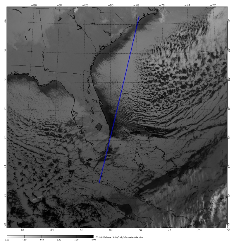
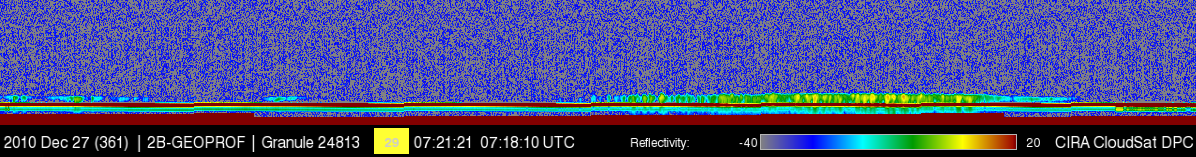
The second image shows the CloudSat overpass just to the south west of the system as it traverses the stratus deck over the Atlantic Ocean (this overpass occurred just a few minutes after the above overpass). Strong northerly and westerly winds behind the system push cold air over the warmer Atlantic Ocean creating a shallow stratus/stratocumulus cloud deck over the ocean.

Sources:
* Weather Underground, Retrieved January 3, 2010.
* Earth Observatory, Picture of the Day - December 30, 2010, Retrieved January 3, 2010.
* Image courtesy of NASA - GOES-13 satellite captured this visible image of the low pressure system.
|


