Update: 20 December 2023
Mission Status: End of Radar Operations on December 20, 2023. More information.
|
| 20 December 2023 | CloudSat News
CloudSat Ends Radar Operations
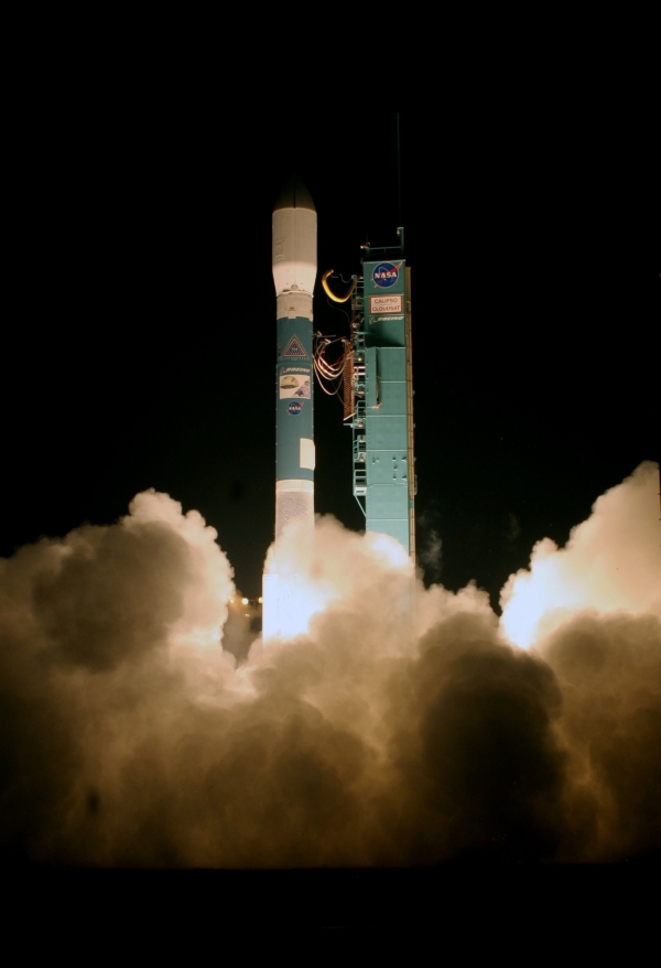
CloudSat radar operations ceased as planned on December 20, 2023 at 11:10 UTC, bringing to an end a rich 17 year and 8 month history of science observations. The spacecraft will now conduct a sequence of orbit lowers leading up to its passivation in April 2024.
The Data Processing Center and Science Team are hard at work implementing the final reprocessing of the CloudSat data products. These R06 products will be released to the science community gradually throughout 2024 and early 2025.
For more information about the mission and its decommissioning, please see this Colorado State University press release.
|
|
|
 |
26 August 2020 | CloudSat News
Hurricane Laura
CloudSat overpasses through the center of Hurricane Laura in the Gulf of Mexico.
|
|
|
 |
27 September 2018 | CloudSat News
CloudSat and CALIPSO
CloudSat and CALIPSO, briefly separated, working together again.
|
|
|
More CloudSat News...
CloudSat is an experimental
satellite that uses radar to observe clouds and
precipitation from space.
CloudSat orbits in formation as part of the
A-Train constellation of satellites
(Aqua,
CloudSat,
CALIPSO,
PARASOL, and
Aura).
Orbital elements (two-line elements or TLEs) for CloudSat are available here (CloudSat DPC). CloudSat ground tracks may be predicted using tools located on this NASA LaRC page. Orbital elements at the LaRC page are updated regularly, but use the DPC link for the very latest TLEs.
For an overview document (PDF) of science and research themes, click here. The BAMS 2002 article (PDF) describing the CloudSat mission is available
here.
|